Drones with thermal imaging now count flying-foxes
- 29 April, 2021 18:18

Counting flying-foxes is nothing like counting sheep. The animals roost in groups and they often live high in the canopies of some of the most remote and inaccessible trees. But now scientists have come up with a novel solution by using an aerial drone, equipped with thermal cameras, to count the elusive creatures.
The innovative new technique was recently described in the journal: Remote Sensing in Ecology and Conservation. It is being applied by ecologists from Western Sydney University and Taronga Conservation Society, to monitor numbers of the vulnerable grey-headed flying-fox (Petropus poliocephalus) at eight colonies around Sydney.
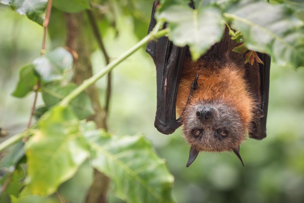 Credit: Dreamstime
 Precise methods for counting animals can help scientists in their efforts to preserve species threatened or vulnerable to extinction, since it allows them to monitor population numbers and make interventions that may be critical in saving those species.
Until recently however, ecologists have had to carry out the painstakingly arduous task of counting flying-foxes one by one by identifying them individually when they fly overhead. But the new drone technology, dubbed “the Drone Observing tool,” represents a breakthrough in ecological management, allowing the scientists to capture images from 50 metres above the tree canopy.
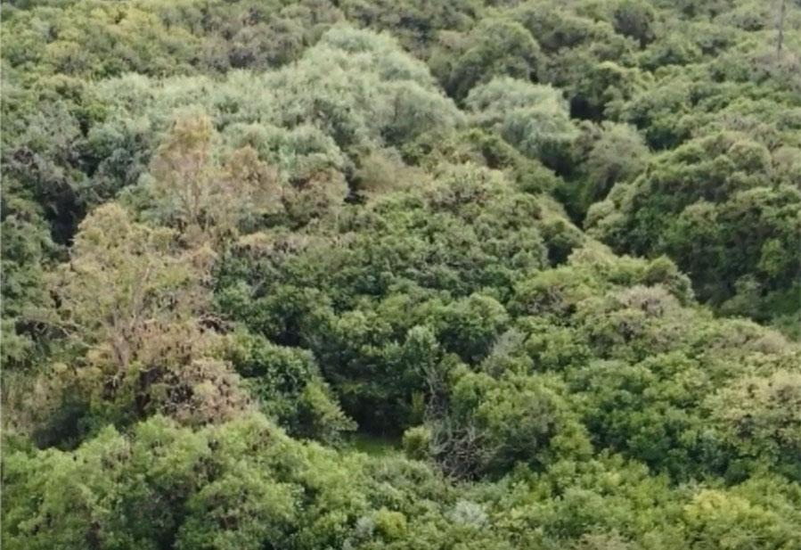 Credit: Western Sydney University
 Like many drone technologies that have been adapted for commercial or research use, the drone used was modified for the job at hand. In this case, a DJI Inspire 2.0 drone was equipped with a Zenmuse XT 19mm radiometric thermal camera, to capture thermal images of flying-foxes in flight and at roost.
The Zenmuse camera has a FLIR longwave infrared thermal sensor, with a sensitivity of 50mK (nf/1.0) and can capture images with a resolution of 640x520-pixels.
To photograph the flying-foxes, the scientists ventured out to flying-fox colonies in the very early morning, when flying-foxes have their highest body temperature. Before deploying their drone, they first conducted a visual survey of the area known to have the established flying-fox colony. Pix4D mapping software loaded onto a simple iPad was then used to give the drone its flight path.
Following this, the drone would take off autonomously and, following a lawn-mowing pattern, survey the treetops, taking images at two second intervals. After images were collected, the scientists used a specially created machine learning algorithm in the ArcGIS Pro mapping software to count the tiny white dots in the thermal images, each dot representing a flying-fox.
University of Western Sydney researcher, and the study's lead author, Eliane McCarthy, says this semi-automated counting method proved to be highly effective, delivering very accurate assessments of flying-fox numbers.
“We measured accuracy by comparing measurements taken by ground counters while the drone was overhead taking thermal imagery. We found the accuracy of the semi-automated counting methods to be approximately 84%,” says McCarthy.
“We can now use drones to obtain accurate and precise measures of colony abundance semi-automatically, thus greatly reducing the amount of human effort involved for obtaining abundance estimates,” she says.
Senior co-author of the study, Associate Professor Justin Welbergen, says the technology will substantially aid future ecology and research. “This method is very valuable for reliably monitoring the abundance of individuals in flying-fox roosts and will aid in the conservation and management of this globally threatened group of flying-mammals, as well as other warm-blooded tree-roosting species,” he says.


